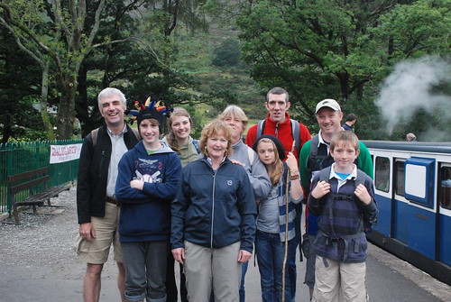
Ready for Action, Eskdale, Uploaded by M+MD.
Thirty Years Later the adventure continues. We met up as planned in Dublin Port at 8 am and were underway on time at 8.45. The sea was calm and the fast ferry was not very full, so we had a quick and easy crossing. We were on the road pretty quickly - we had our 2 separate routes mapped out on Google Maps. Mags, Senan and I diverted to Liverpool to pick up Sheila and Roisha. Greg, Kevin, Christopher, Katy and Mark headed on for the M6. We arrived in Liverpool at 12.40 and were at Lime Street station just as Sheila was walking out - couldn't have timed it better! We didn't hang around and were on the road through Liverpool via Aintree. One wrong turn quickly corrected and soon we were back on the motorway system. We stopped at a services at Lancaster and had a sandwich and did some shopping in an M&S. We stocked up with bread and sandwich materials ad well as drinks and chocolate for the walks ahead.
We met up with Greg and Kevin and co at Ambleside and I took the lead car position as we headed for the high mountain passes of Wrynose and Hard Knott which leads us down to Eskdale. The passes are high 1,200 feet - and I knew they are a little hairy - but 3 had forgotten just how scary they can be. The roads are narrow with a passing lay by every 30 metres or so. There is a lot of traffic both ways. The mist was down so viability at the top was about 30 feet! But the biggest issue is the gradient which is 25% and 30% in places. While I had the power in the Volvo - it is an automatic which is probably a help - but it feels different, changing down is not an option! Greg had a smaller engine and a very full car behind us.
Anyway we made it - nerves shattered! We drove past the youth hostel and on to Boot where we parked at the rail station and considered a quick ramble. The original plan had been Harter Fell - but we needed a 3 pm arrival to do that - as it was now 5 it was Plan B which was a ramble up to Burnmoor Tarn behind Boot. We followed the path and without taking out a map or compass continued for about 40 minutes. The ground was wet and the path less clear than I remembered. Burnmoor Tarn was also slow to appear and there seemed to be an extra valley ahead! It looked like we had veered off to the left.
So the map and compass were consulted and with a course correction we headed for the hillock called Boat How and sure enough Burnmoor Tarn appeared below us. We headed back to the original intended path and back down to Boot. A total of 2 and a half hours stroll which was just what we needed to get warmed up for to-morrow.
We headed back to the Hostel and checked in and unpacked. It was then a ad scramble to make it somewhere for food. Last orders were at 8.30 so we rushed back to Brook House in Boot and made it just in time. We had a good meal and some local bitter and were back in the hostel by 10. The beds were hard but comfortable and we had a good nights sleep, boys in one room and girls in the other; youngest on the top bunk and oldest on the bottom!


No comments:
Post a Comment